The Map and Its Significance
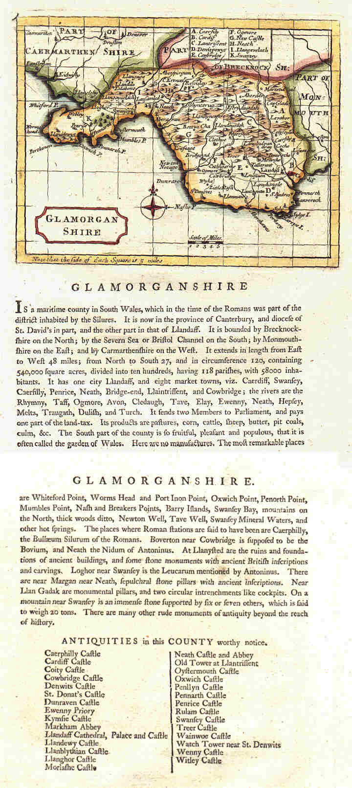
The image below is reproduced from Antiquities of England and Wales by Francis Grose, published around 1787. The original engraving was produced by John Seller around 1695, with only minor alterations made for the later publication — for instance, the county name "Caermarthen" replaced the older spelling "Carmarden", and the map title was amended. You can see where the grid lines stop short of these changes, evidence of the copper plate being hammered from behind to raise the surface for the new engraving.
Llanmaes appears on this map — whereas the now much larger settlements of Llantwit Major and Boverton do not. This indicates the importance of Llanmaes in the late seventeenth century as a centre of worship, commerce, employment and land ownership. It is also interesting to note the map's reference to the Vale of Glamorgan being sometimes known as "the garden of Wales".